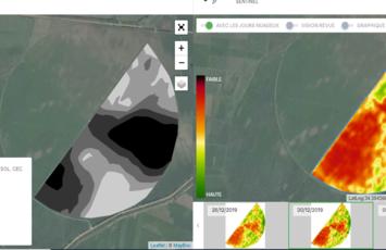
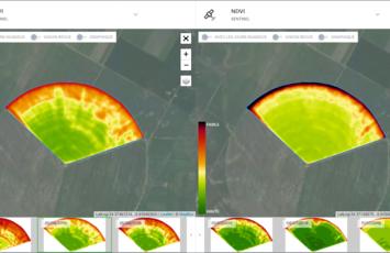
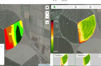
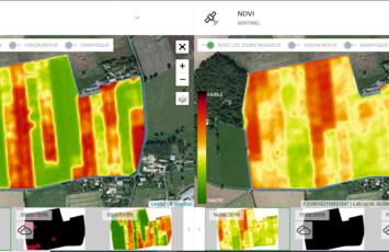
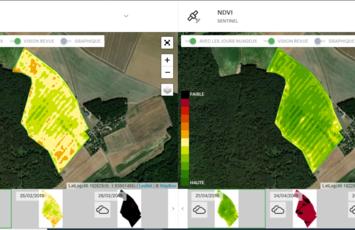
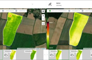
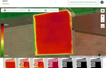
MyPrecifield is a simple, cost-effective and scalable precision farming tool that allows you to monitor the plant health of your crops in real time from your computer, tablet or phone, using satellite imagery, without having to travel.
Every 5 days, satellites capture images of your plots providing key data & deeper insight allowing you to compare maps with each other, resulting in the best agronomic decisions being made.
The data is obtained using the European Space Agency's SENTINEL 2 constellation satellites, which fly over the Earth every 3 to 5 days.
c:youtube
- Imagem
PRECIfield®
BENEFITS
- View all your plots quickly without having to move around in each of them
- Optimize your resources
- Reduce your costs by determining your soil tests in the right place
Why not book an online demonstration? Or if you have any questions, why not contact our teams of experts. Contact US